Brussels old map
You can find on this page the Brussels old map to print and to download in PDF. The Brussels historical map and the vintage map of Brussels present the past and evolutions of the city of Brussels in Belgium.
Brussels historical map
The Brussels old map shows evolutions of Brussels city. This historical map of Brussels will allow you to travel in the past and in the history of Brussels in Belgium. The Brussels ancient map is downloadable in PDF, printable and free.
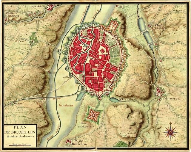
The founding of the historical Brussels dates back to around 979 when Duke Charles passed on the relics of Saint Gudula from Moorsel to the Saint Gaugericus chapel in Brussels. Today the historical chapel is located on the holy island of Saint Gaugericus as its shown in Brussels historical map. On this same very island Charles of France; the expelled son of King Louis IV built the first permanent fortification when The Holy Roman Emperor Otto II gave the duchy of Lower Lotharingia to him. In those days Saint Gaugericus island was recognised as the Island of Saint-Gorik. Carl of France decided to build a castrum on the island which laid the foundation of Brussels city.
Brussels vintage map
The Brussels vintage map give a unique insight into the history and evolution of Brussels city. This vintage map of Brussels with its antique style will allow you to travel in the past of Brussels in Belgium. The Brussels vintage map is downloadable in PDF, printable and free.
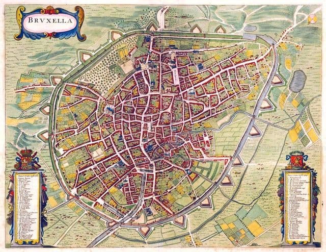
The vintage city of Brussels has evolved several times but to this day you can still see the original city walls. Throughout the ages vintage Brussels has been the home of kings, a trade hub and an epicentre of many crafts as its shown in Brussels vintage map. The most common theory for the toponymy of Brussels is that it derives from the Old Dutch Broeksel or other spelling variants, which means marsh (broek) and home (sel) or “home in the marsh”.